Massachusetts has 192 state parks and forests covering more than 450,000 acres. Most of the hiking content online ignores 90% of it and sends everyone to the same five Berkshire trailheads. The result is overcrowded parking lots on weekends and the persistent myth that you need to drive to western Massachusetts to find a decent trail. You don’t. Quality hiking exists within an hour of Boston, Springfield, and Worcester — you just need to know where it actually is.
Within an Hour of Boston
The Greater Boston area has more accessible hiking than most residents realize, spread across a network of reservations and state forests that rarely appear in mainstream travel guides.
Blue Hills Reservation — Milton
Twelve miles south of downtown Boston, Blue Hills covers 7,000 acres and 125 miles of trails. The Skyline Trail runs the full length of the reservation — 9 miles end-to-end — but the section between Great Blue Hill and Chickatawbut Hill is the most worthwhile for day hikers. The summit of Great Blue Hill at 635 feet gives clear views of the Boston skyline, the harbor islands, and on sharp days, the White Mountains to the north. Trailhead parking off Hillside Street in Milton fills by 9 AM on fall weekends — arrive earlier or use the secondary lot on Chickatawbut Road.
Middlesex Fells Reservation — Medford
Five miles north of Boston, the Fells offers rocky ridge walking that feels nothing like the suburban surroundings it sits in. The Skyline Trail here covers 6.6 miles across three connected loops with consistent elevation changes and exposed granite outcrops at the high points. The western section around Winthrop Hill is less trafficked than the eastern reservoir area and gives better views with fewer people. Total driving time from the city center is under 25 minutes.
Willowdale State Forest — Ipswich
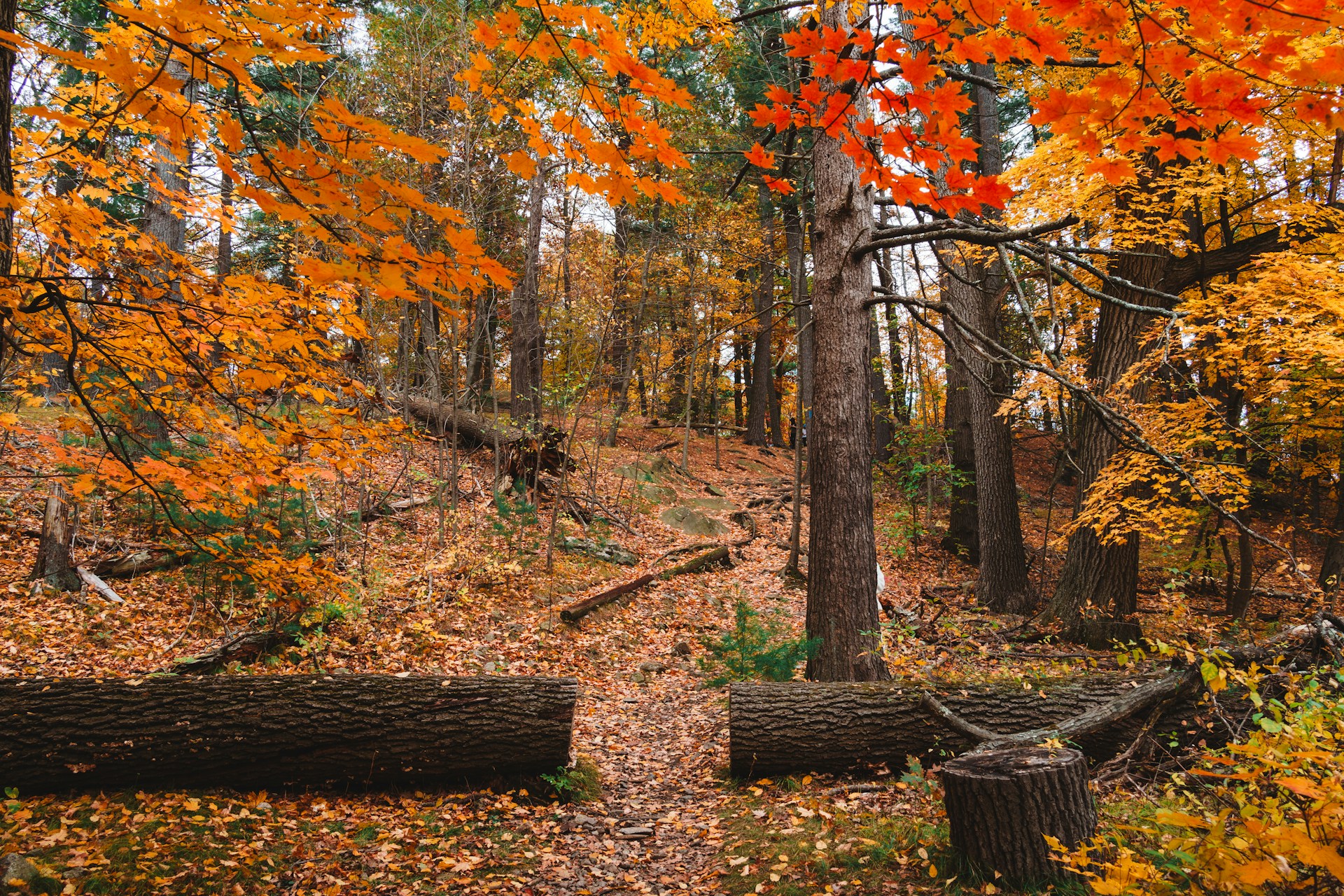
North of Boston toward Cape Ann, Willowdale is 2,400 acres of mixed hardwood forest threaded by the Ipswich River. The trails here are flat by Massachusetts standards, which makes the forest less dramatic but genuinely peaceful — no technical terrain, no crowds, and enough trail mileage to spend a full morning without retracing steps. The trailhead off Linebrook Road in Ipswich has reliable parking even on busy weekends.
Central Massachusetts — The Overlooked Middle
The region between Boston and the Berkshires contains some of the best hiking in the state and almost none of the traffic. Most people drive straight through it on the Mass Pike without stopping.
Wachusett Mountain State Reservation — Princeton
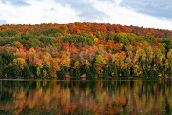
At 2,006 feet, Wachusett is the highest point in Massachusetts east of the Connecticut River. The summit is accessible by car, which draws crowds to the top — but the hiking routes up, particularly the Bicentennial Trail and the West Side Trail, are quiet even on peak weekends. The 1.9-mile Bicentennial Trail gains 900 feet from the trailhead parking area to the summit and passes through mature hardwood forest that turns deep red and orange in October. Total drive from Boston is 65 minutes; from Worcester, under 30.
Redemption Rock to Wachusett — Princeton to Westminster
A 4.5-mile one-way trail connects the historic Redemption Rock site on Route 140 to the Wachusett summit. The trail crosses several distinct forest types and a stretch of open ridgeline before the final climb. It requires a car shuttle or an out-and-back of nine miles, but the variety of terrain across that distance is greater than almost anything in the state at comparable elevation. This is the trail locals recommend to each other and almost never appears in travel content about Massachusetts hiking.
Purgatory Chasm State Reservation — Sutton
Twenty minutes south of Worcester, Purgatory Chasm is a quarter-mile granite gorge created by glacial activity roughly 14,000 years ago. The main loop through the chasm is only 0.4 miles but involves genuine scrambling through narrow rock passages — not a walk in the woods. For less technical terrain, the surrounding forest trails add several miles of easier hiking. The site is legitimately unusual for New England, and the combination of geology and forest makes it worth a standalone trip rather than a quick stop.
What to Know Before You Go
Massachusetts trail conditions vary sharply by season. Spring trails, especially in state forests with clay soil, can be deeply muddy from March through May — conditions that damage trails and make sections impassable without waterproof boots. The MassTrails app and the state DCR website both report trail conditions by reservation and are reliable enough to plan around.
Parking fees apply at most state reservations from Memorial Day through Columbus Day — typically $8 per vehicle for Massachusetts residents and $15 for out-of-state plates. Arrive before 8 AM on summer and fall weekends and the fee booth is usually unmanned, which means free entry but also means arriving to a lot that may already be filling.